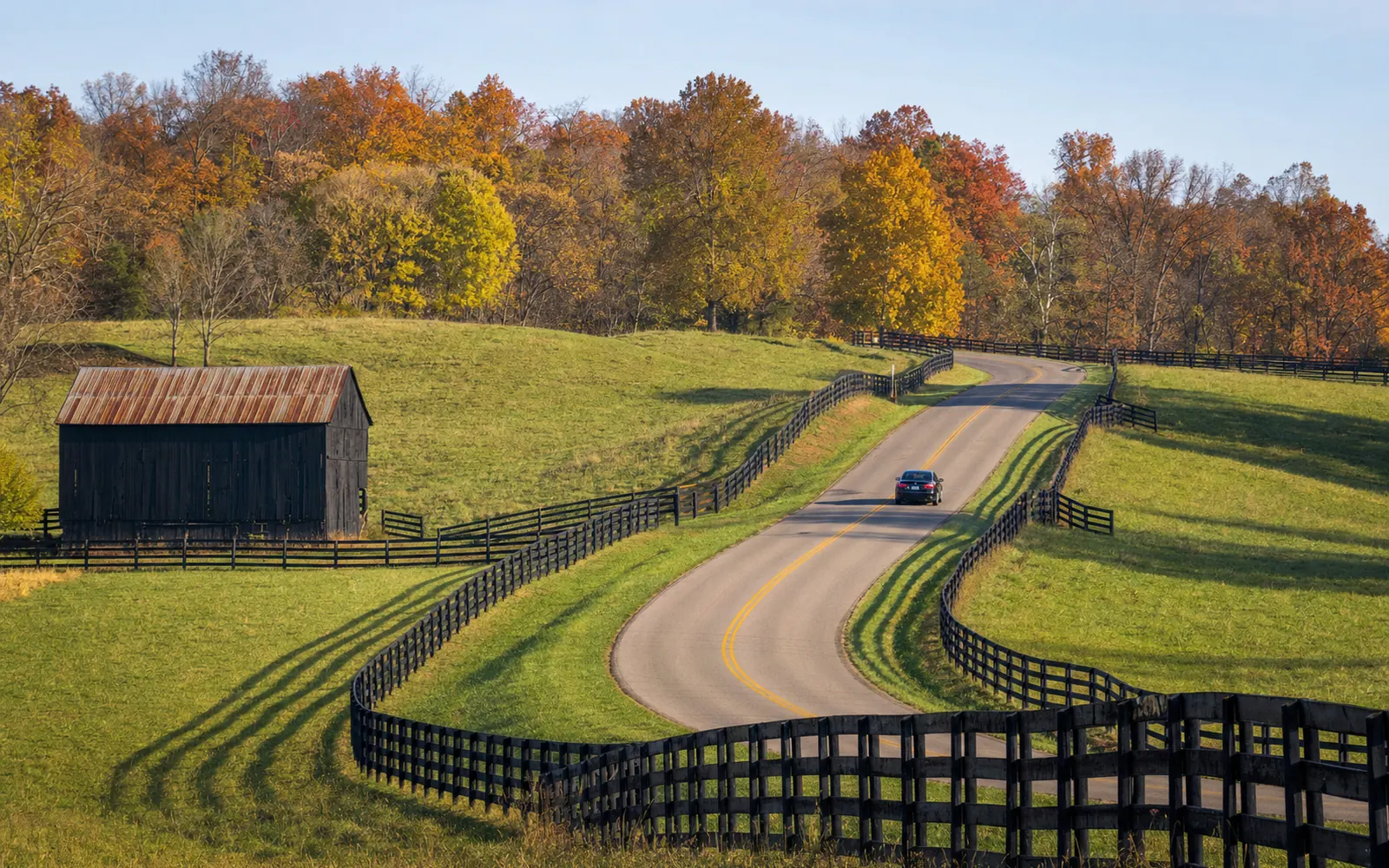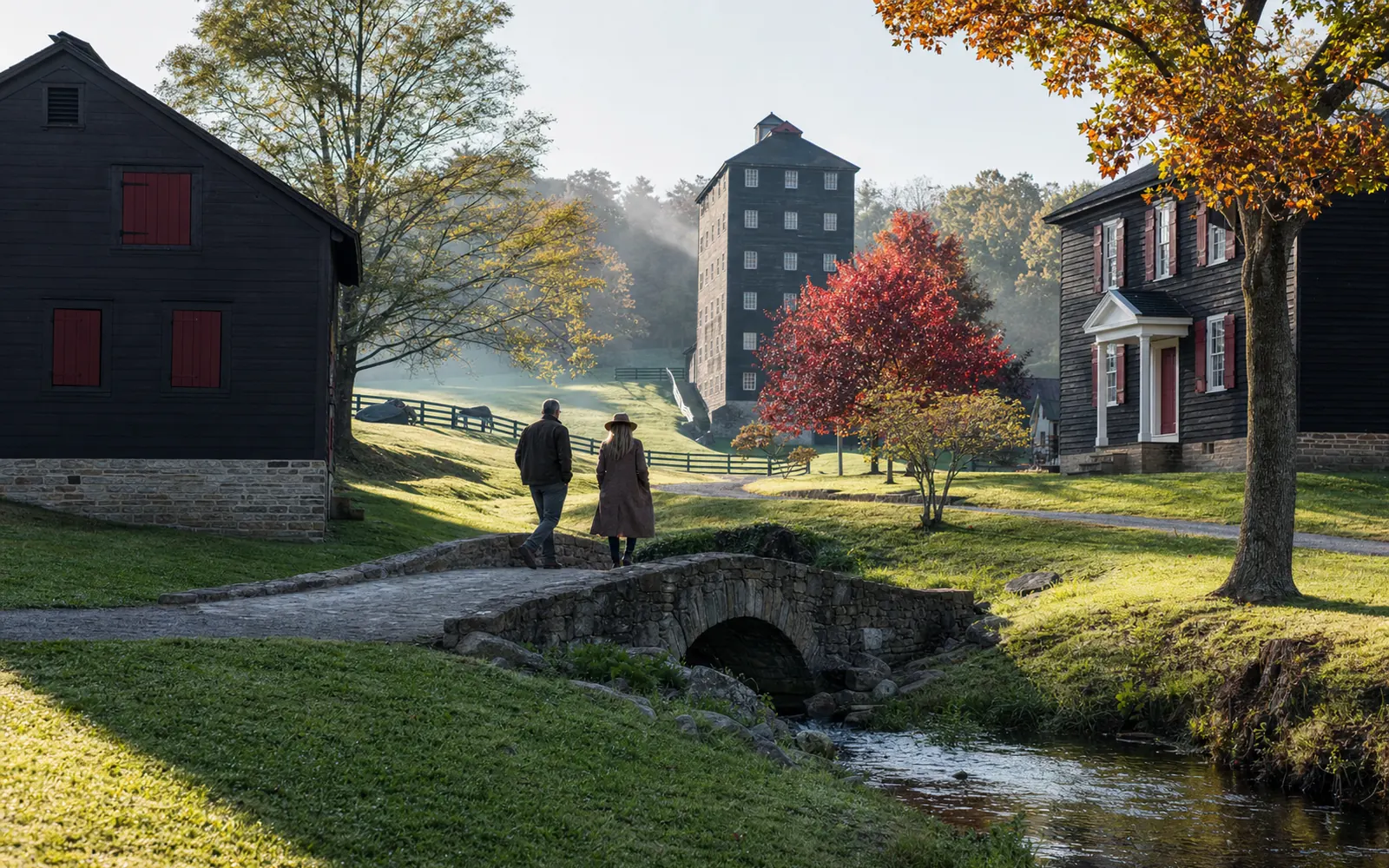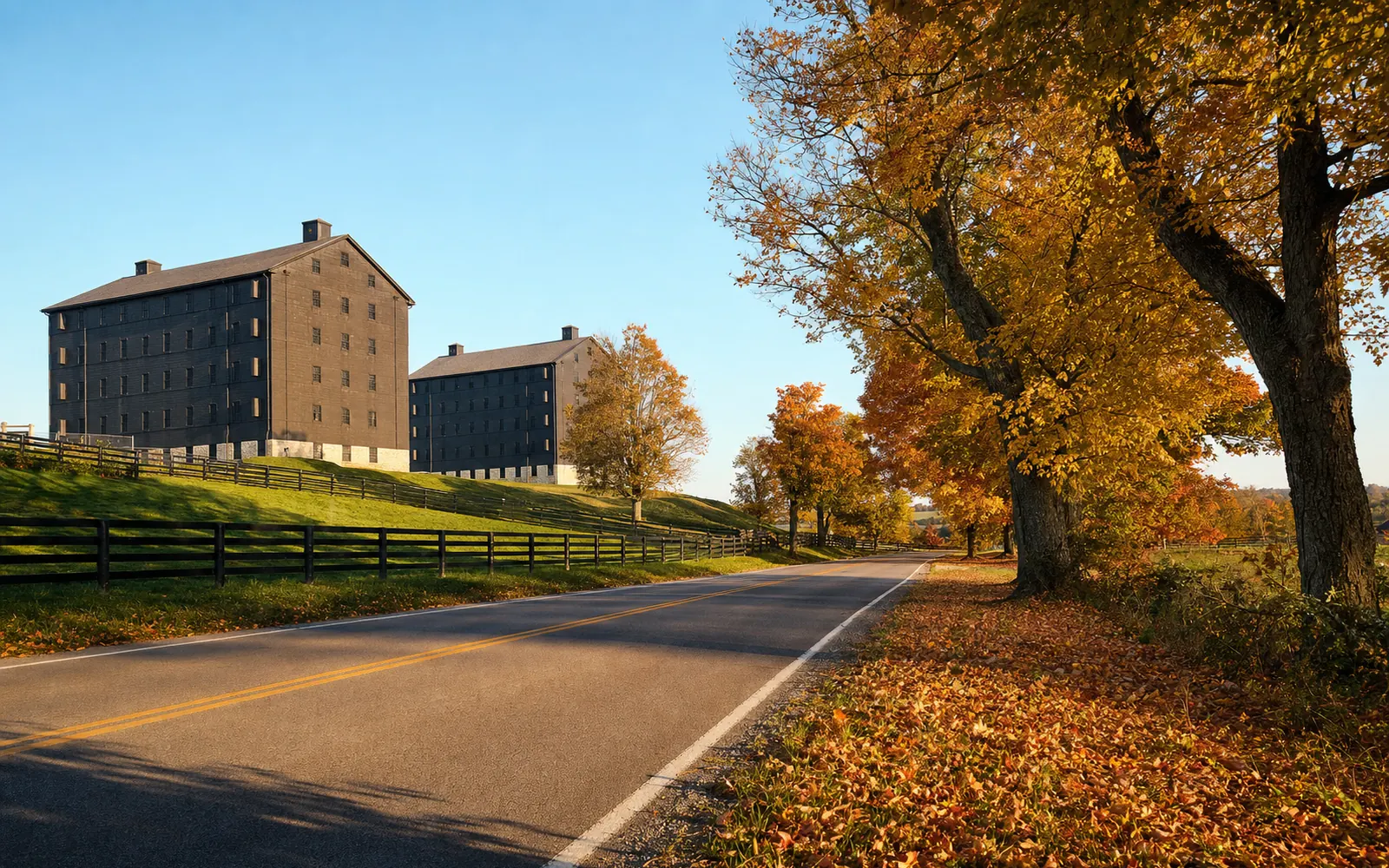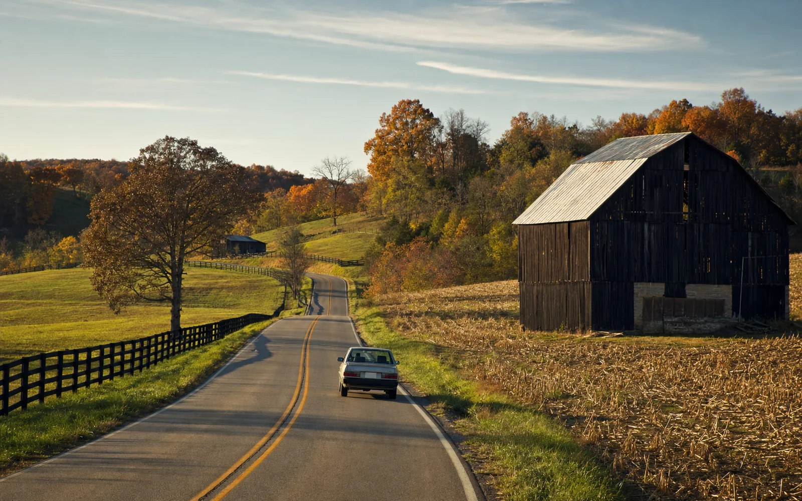
The best drive from Bardstown is the one that runs right through town: the Lincoln Heritage Scenic Highway, a 71.2-mile National Scenic Byway that follows US 31E from Abraham Lincoln’s birthplace in Hodgenville up to Court Square, then US 150 east through Springfield to Danville. Drive the southern half for Lincoln history and the eastern half for farm towns and Civil War ground. For a short loop, take KY 245 northwest through the knobs to Bernheim Forest, or wind south on back roads to the Trappist monks at Gethsemani. Go in October, when the wooded hills turn.
Scenic drives from Bardstown at a glance
| Drive | Route | One way | Driving time | Best stops |
|---|---|---|---|---|
| Old Kentucky Turnpike | US 31E south to Hodgenville | 28 miles | About 45 minutes | Knob Creek, Lincoln Birthplace, Hodgenville square |
| Abraham Lincoln Heritage Highway | US 150 east to Danville | 34 miles (byway section) | About 55 minutes | Springfield, Lincoln Homestead, Perryville, Danville |
| KY 245 to Clermont | KY 245 northwest | About 16 miles | About 30 minutes | Bernheim Forest, Jim Beam, Four Roses Cox’s Creek |
| The knobs to Gethsemani | South via Monks Road | About 12 miles | About 25 minutes | Abbey of Gethsemani, Log Still, New Haven |
| Loretto farm roads | Southeast to Marion County | About 21 miles | About 35 minutes | Maker’s Mark, Loretto Motherhouse, Lebanon |
| Bloomfield and Taylorsville | US 62 northeast, then KY 55 | About 37 miles | About 45 minutes | Springhill Winery, Taylorsville Lake |
Times are drive minimums without stops or traffic; add 10 to 20 percent for rural curves and farm equipment.
The Lincoln Heritage Scenic Highway
Kentucky’s scenic byway list shows three designations stacked on this corridor. The national one, the Lincoln Heritage Scenic Highway, runs 71.2 miles across LaRue, Nelson, Washington and Boyle counties on US 62, US 31E and US 150. Two state byways overlap it: the Old Kentucky Turnpike to the south and the Abraham Lincoln Heritage Highway to the east. Bardstown sits at the hinge, so you can drive one arm in the morning and the other the next day.
South: the Old Kentucky Turnpike to Hodgenville
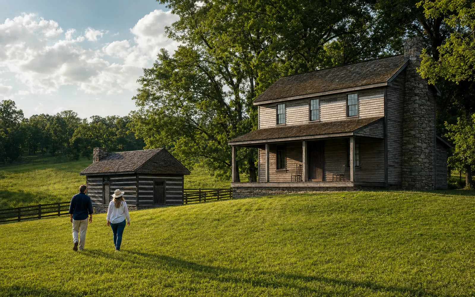
The Old Kentucky Turnpike runs 28.059 miles on US 31E from the Abraham Lincoln Birthplace to the entrance of My Old Kentucky Home State Park, so technically it starts at your hotel’s doorstep. Drive it south and stop first at Knob Creek, about 18 miles out, where Lincoln lived from age 2 to 7. The grounds are open daily from dawn to dusk, and the small creek valley is the prettiest spot on the route.
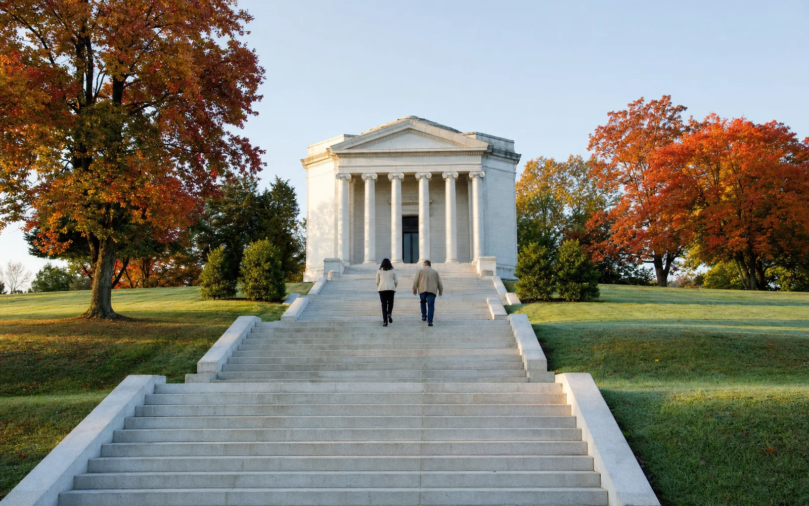
Ten miles on, the Abraham Lincoln Birthplace near Hodgenville centers on a 1911 neoclassical Memorial Building with 56 steps, one for each year of Lincoln’s life, around a symbolic cabin. The Memorial Building is open 9 a.m. to 4:30 p.m. Eastern. Finish on Hodgenville’s town square with its Lincoln statues and museum. The full stop-by-stop plan is in the Hodgenville and Lincoln Birthplace day trip.
East: the Abraham Lincoln Heritage Highway to Danville
The eastern arm follows US 150 for 34 miles from Bardstown through Springfield to Danville. It feels different from the south run: wider views, more pasture and a string of courthouse towns. In Springfield, the Washington County Courthouse, built in 1814 and 1815 with an octagonal cupola added in 1840, anchors the square. Just north of town, Lincoln Homestead State Park preserves the Francis Berry House, where Nancy Hanks worked while Thomas Lincoln courted her. See the Springfield and Lincoln Homestead guide.
Keep going to Danville, Kentucky’s “City of Firsts,” or add Perryville Battlefield, site of the largest Civil War battle in Kentucky, on Oct. 8, 1862. The Perryville and Danville day trip has hours and a suggested order. Byway routes carry heavy truck traffic in places, so leave room and take your photos from pull-offs, not the shoulder.
KY 245 to Bernheim and Clermont
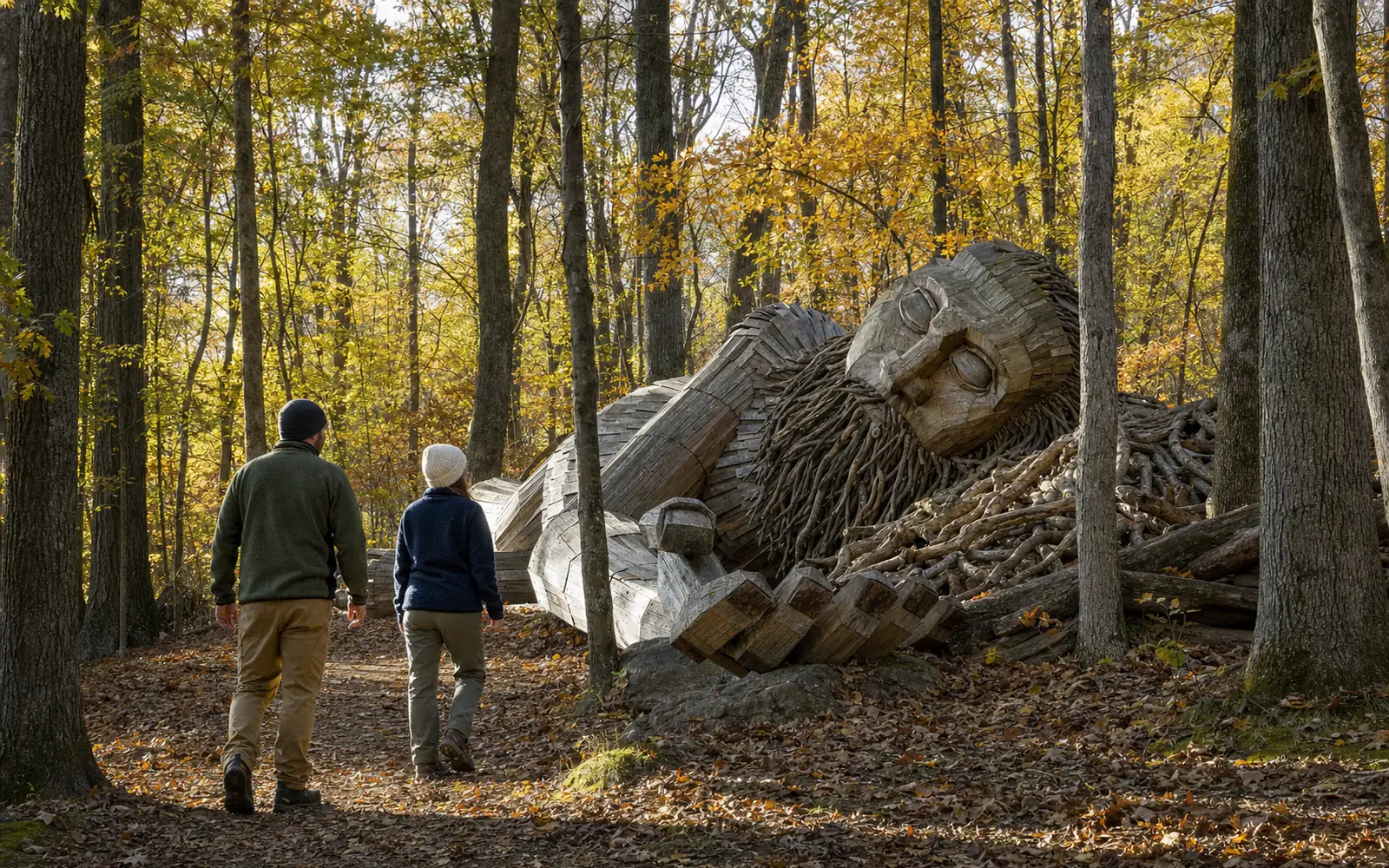
The shortest scenic drive is also the most popular. Head northwest on KY 245 and the road rolls through farmland before climbing into the wooded knobs around Clermont, about 30 minutes out. Bernheim Forest is the reward. Inside, Forest Hill Drive is a paved loop through the arboretum and woods, open 7 a.m. to 6 p.m., and a $15-per-car recommended admission covers the whole forest.
Jim Beam’s Clermont campus is five minutes from Bernheim, and on the way home the Four Roses warehouse and bottling site at Cox’s Creek sits about 12 miles from Court Square (open Wednesday through Sunday). If a tasting is on the schedule, put it before lunch and the drive after, or hand the keys to someone who is skipping the pours. The Clermont day trip lays out the timing.
South through the knobs to Gethsemani
For quiet, head south toward Trappist. The roads narrow and start to twist as the land rises into the knobs, the steep wooded hills that Kentuckians call by that name. The Abbey of Gethsemani, about 12 miles and 25 minutes from Court Square, was founded in 1848 and was Thomas Merton’s home for 27 years. The visitor center is open Monday through Saturday, 9 a.m. to 5 p.m., and visitors are asked to keep the grounds quiet. Read the Abbey of Gethsemani guide before you go.
Nearby, Log Still Distillery’s 350-acre campus at Gethsemane has a tasting room, a fishing lake and an outdoor amphitheater, and the Kentucky Railway Museum in New Haven is a few miles farther on. Loop back to Bardstown on US 31E, making a relaxed half-day circuit of about 30 miles.
Loretto farm roads to Maker’s Mark
The road southeast into Marion County is as much a reason to visit Maker’s Mark as the distillery itself. It winds through rolling Nelson and Marion County farmland for about 21 miles, roughly 35 minutes. Book a tour, have lunch at the distillery, then drive a few more miles to the Loretto Motherhouse, home of the Sisters of Loretto since 1812. The Loretto and Lebanon day trip extends the loop to Limestone Branch Distillery and Lebanon.
Bloomfield and Taylorsville Lake
Northeast of town, US 62 runs through Bloomfield, a small farm town about 10 miles out, where Springhill Winery pours estate wines on an 1857 country estate (Tuesday through Saturday). Continue north on KY 55 and the land opens toward Taylorsville Lake, a 3,050-acre reservoir with 75 miles of wooded shoreline. Pack a picnic and see the lakes, fishing and paddling guide for the state park, marina and trails.
See it from above
For the view no road can give you, Classic Biplane Tours flies open-cockpit rides for two from Samuels Field at 1924 Boston Road, just west of town, over the bourbon countryside. The company says it has flown more than 18,000 riders over 24 years and offers six set flights or a custom route. Prices are by phone at (502) 836-5252. A fall flight over the rickhouses and turning woods is hard to beat.
Tips for driving around Bardstown
- Go in October for peak leaf color, and in April and May for green hills and blooming redbuds. Summer haze softens the long views.
- US 62 west of Bardstown has one-lane, signal-controlled traffic at the Sympson Lake dam until about August 2027, the Kentucky Standard reports. Use another route west if you are in a hurry.
- Watch for slow tractors, deer at dusk and bourbon trucks on narrow county roads.
- Download offline maps before heading into the knobs, where rural cell signal can be patchy.
- Distillery stops and scenic driving mix only with a designated driver. The responsible drinking guide covers Kentucky’s rules.
Whichever way you head, give yourself time for the unplanned stop: a courthouse square, a roadside marker or a farm stand. The pleasure of these drives is the pace, and none of them is long enough to rush.
For nine complete loops with lunch stops built in, see day-trip routes from Bardstown.